- Choose Weather From Menu ↓↓↓
- Weather App
- Weather Map


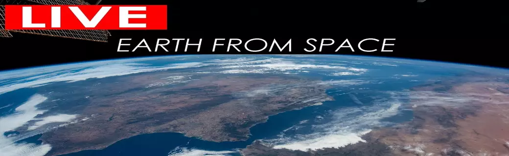
- Satellite: Clouds and Sun
- Weather TV LIVE
- Time Now

- Satellite: Clouds and Sun
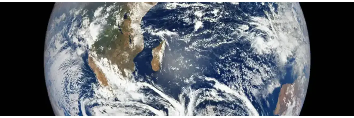
![Satellite: Clouds and Sun]() Satellites provide essential data for weather forecasting by continuously monitoring Earth's atmosphere, tracking cloud formations, and detecting changes in temperature, humidity, and wind patterns. Advanced satellite technology captures high-resolution images of clouds, helping meteorologists predict storms, hurricanes, and other extreme weather events with greater accuracy.
Satellites provide essential data for weather forecasting by continuously monitoring Earth's atmosphere, tracking cloud formations, and detecting changes in temperature, humidity, and wind patterns. Advanced satellite technology captures high-resolution images of clouds, helping meteorologists predict storms, hurricanes, and other extreme weather events with greater accuracy. - World Water Temperature / Sea Surface Temperature
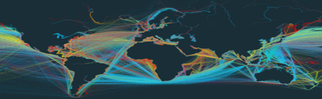
![World Water Temperature]() Monitoring world water temperature and sea surface temperature (SST) is critical for understanding global climate patterns, marine ecosystems, and weather forecasting. Satellites and ocean buoys collect precise SST data, revealing trends such as El Niño and La Niña events, which influence rainfall, hurricanes, and marine biodiversity.
Monitoring world water temperature and sea surface temperature (SST) is critical for understanding global climate patterns, marine ecosystems, and weather forecasting. Satellites and ocean buoys collect precise SST data, revealing trends such as El Niño and La Niña events, which influence rainfall, hurricanes, and marine biodiversity.


- Flight radar
![Flight radar, Weather today]() Tracking flights in real-time has become an essential tool for travelers and aviation enthusiasts alike, thanks to platforms like Flightradar24 and Google Flight Radar. These services provide up-to-the-minute updates on flight status, allowing users to monitor flights worldwide with ease.
Tracking flights in real-time has become an essential tool for travelers and aviation enthusiasts alike, thanks to platforms like Flightradar24 and Google Flight Radar. These services provide up-to-the-minute updates on flight status, allowing users to monitor flights worldwide with ease.
- Weather in Countries


